Driving to Þingvellir: tolls, fuel & road trip guide
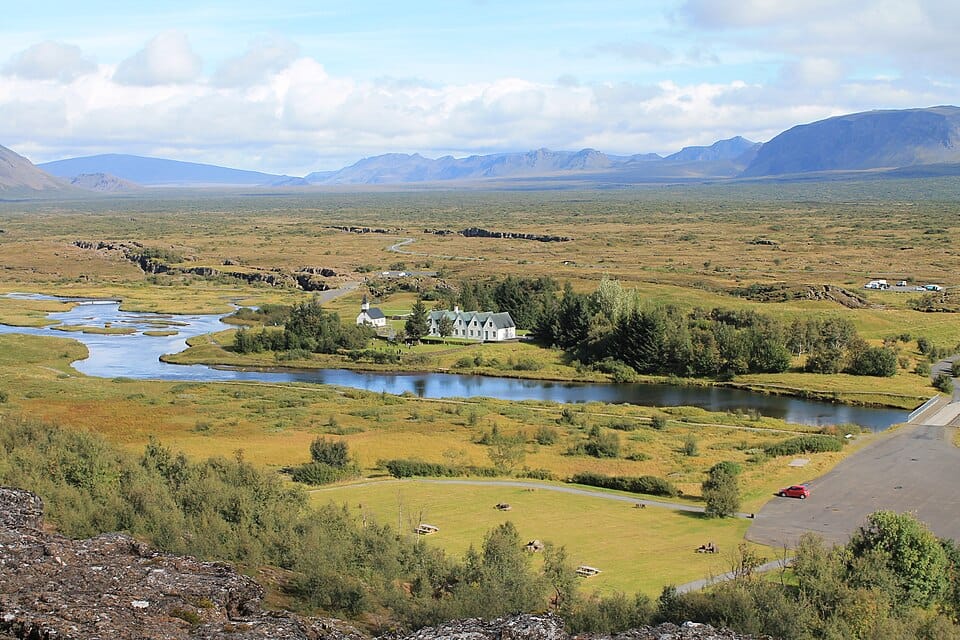
Þingvellir is a UNESCO World Heritage site and national park where Iceland's first parliament, the Althing, was founded in 930 AD, making it one of the world's oldest continuous representative assemblies. The park sits directly on the boundary between the North American and Eurasian tectonic plates, visible as a dramatic rift valley of fissures, cliffs, and exposed volcanic rock.
Þingvellir is the first stop on the classic Golden Circle route, roughly 40 minutes northeast of Reykjavík by car. The main paved road winds through the park past the Almannagjá rift and Þingvallavatn, Iceland's largest natural lake, though side paths to viewpoints can be gravel; conditions and visibility change quickly with Iceland's weather, so drivers should watch for wind and fog.
Top attractions
Almannagjá
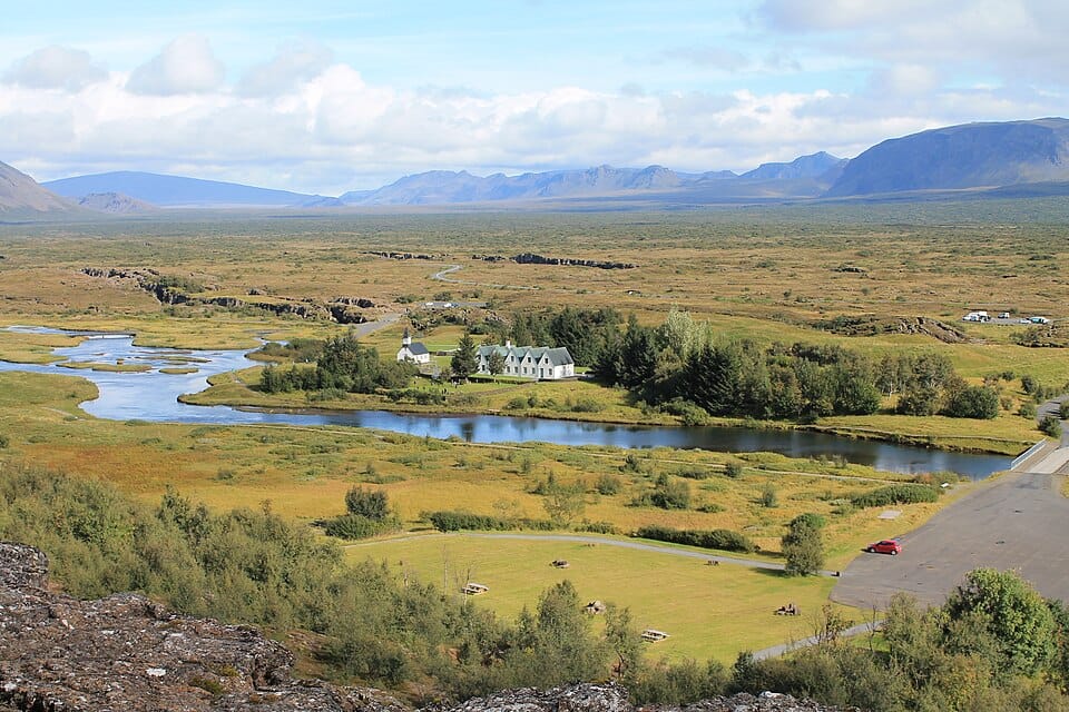
A dramatic rift valley and canyon wall marking the edge of the North American tectonic plate, with a walking path running along its base. The site offers some of the clearest views of continental drift anywhere in the world.
Öxarárfoss
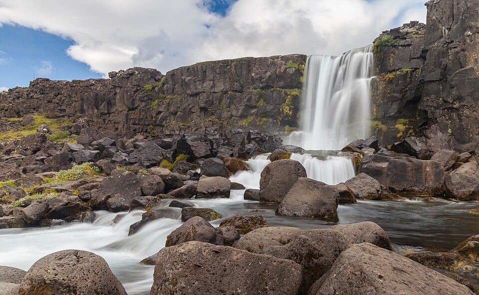
A waterfall formed where the Öxará river tumbles over the Almannagjá rift wall into the valley below. It is a short walk from the main park path and one of Þingvellir's most photographed spots.
Silfra
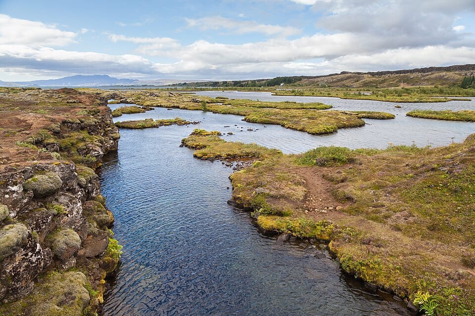
A water-filled fissure between the tectonic plates known for extremely clear glacial meltwater, popular for snorkeling and diving. Visibility can exceed 100 meters, and the water stays near freezing year-round.
Lögberg (Law Rock)
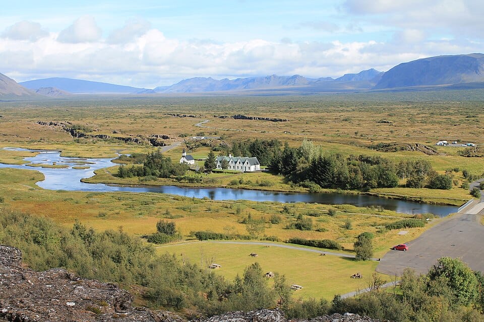
The site where the chieftains of the Althing gathered to recite laws and settle disputes, marking the historical heart of Iceland's early parliament. A flagpole and marker note the traditional location today.
Þingvallavatn
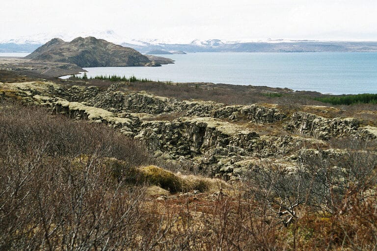
Iceland's largest natural lake, formed by rift subsidence and fed partly by glacial water filtered through lava fields. Its clear waters are known for arctic char fishing and views toward distant glaciers.
Driving to Þingvellir
Road charges in Iceland
No motorway vignette or environmental sticker is required for passenger cars in Iceland; motorways are free or distance-tolled.
Mandatory equipment in Iceland
- Headlights (daytime running lights or dipped beam)
- Safety vest (reflective, high-visibility)
- Warning triangle
- Winter tires
- Snow chains
Driving distances from Þingvellir
| To | Road km | Drive time |
|---|---|---|
| Geysir | 49 | 42 min |
| Reykjavík | 57 | 49 min |
| Skógafoss | 147 | 2 h 06 min |
| Vík | 182 | 2 h 36 min |
Plan your route with EuroDrive Scout →