Iceland: Golden Circle & South Coast: attractions & sights guide
A stop-by-stop guide to the best things to see along the Iceland: Golden Circle & South Coast route — 4 destinations, their must-see sights and how to drive between them.
Plan this route with EuroDrive Scout — tolls, vignettes, ZTL alerts, fuel & parking →
Reykjavík
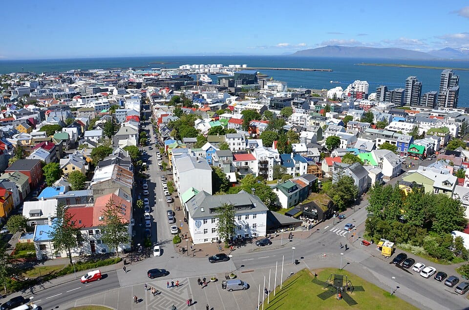
Reykjavík is the capital and largest city of Iceland, the northernmost capital in the world, home to about two-thirds of the country's population within its greater metropolitan area. The city is known for its colorful low-rise architecture, the twin-spired Hallgrímskirkja church that dominates its skyline, a compact walkable center, and a lively creative, geothermal-powered urban scene shaped by the surrounding volcanic landscape.
Top attractions in Reykjavík
Hallgrímskirkja
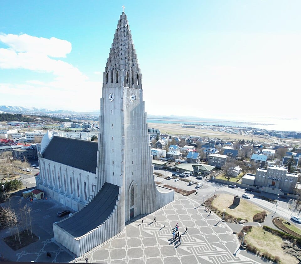
A Lutheran parish church whose 74-meter tower, completed in 1986, is one of Iceland's tallest buildings and was designed to evoke basalt lava columns. An observation deck near the top offers panoramic views over Reykjavík's rooftops.
Harpa Concert Hall
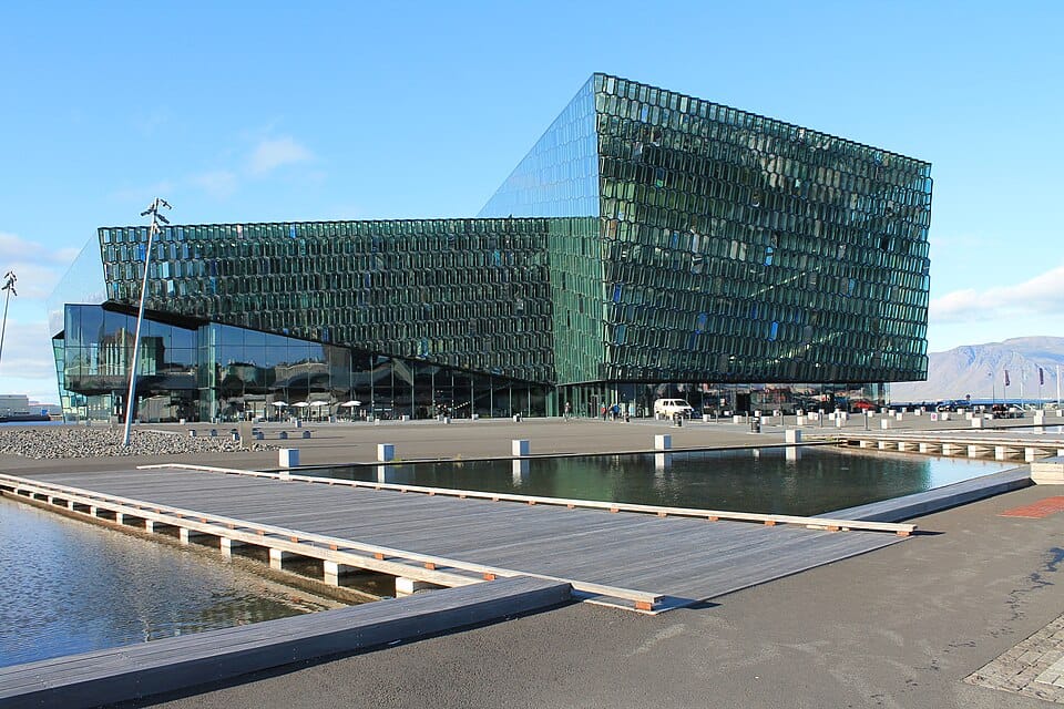
A glass concert and conference hall on the old harbor front, its honeycomb facade inspired by Iceland's basalt columns and northern light. It hosts the Iceland Symphony Orchestra and anchors the city's waterfront.
Sun Voyager (Sólfar)
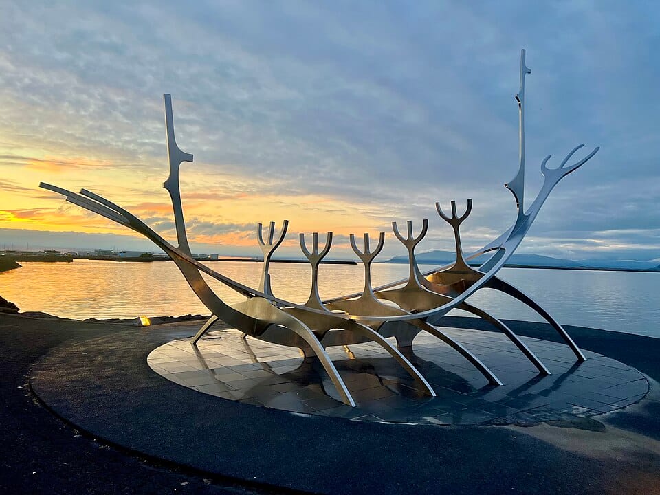
A steel sculpture resembling the skeleton of a Viking-style ship, standing on the shoreline promenade as an ode to the sun and the promise of undiscovered territory. It frames views of Mount Esja across the bay.
Perlan
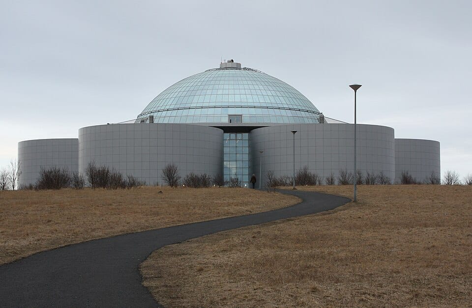
A glass-domed building atop hot water storage tanks on Öskjuhlíð hill, housing an observation deck, a planetarium, and exhibits on Icelandic nature including a man-made ice cave. Its revolving restaurant offers 360-degree views over the city.
Laugavegur
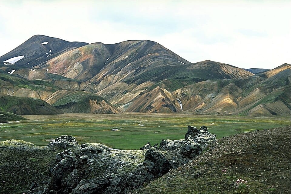
Reykjavík's main shopping street, lined with boutiques, cafés, and restaurants, running from the city center toward Hallgrímskirkja. It is also the traditional route for the city's largest festivals and parades.
Þingvellir
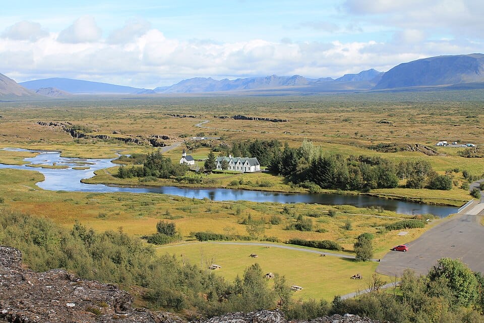
Þingvellir is a UNESCO World Heritage site and national park where Iceland's first parliament, the Althing, was founded in 930 AD, making it one of the world's oldest continuous representative assemblies. The park sits directly on the boundary between the North American and Eurasian tectonic plates, visible as a dramatic rift valley of fissures, cliffs, and exposed volcanic rock.
Top attractions in Þingvellir
Almannagjá
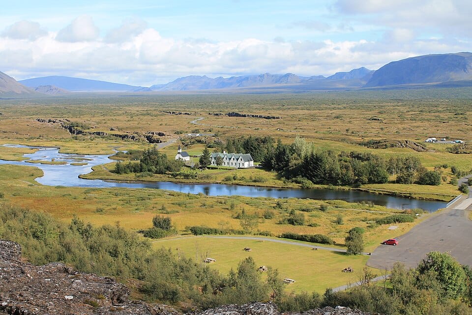
A dramatic rift valley and canyon wall marking the edge of the North American tectonic plate, with a walking path running along its base. The site offers some of the clearest views of continental drift anywhere in the world.
Öxarárfoss
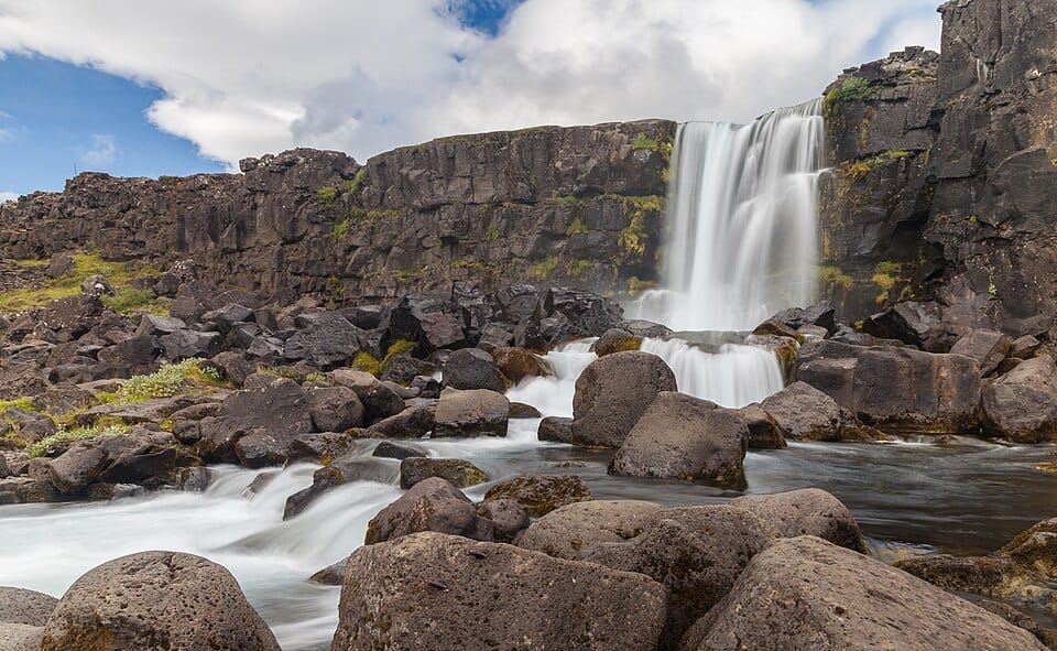
A waterfall formed where the Öxará river tumbles over the Almannagjá rift wall into the valley below. It is a short walk from the main park path and one of Þingvellir's most photographed spots.
Silfra
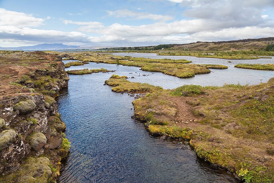
A water-filled fissure between the tectonic plates known for extremely clear glacial meltwater, popular for snorkeling and diving. Visibility can exceed 100 meters, and the water stays near freezing year-round.
Lögberg (Law Rock)
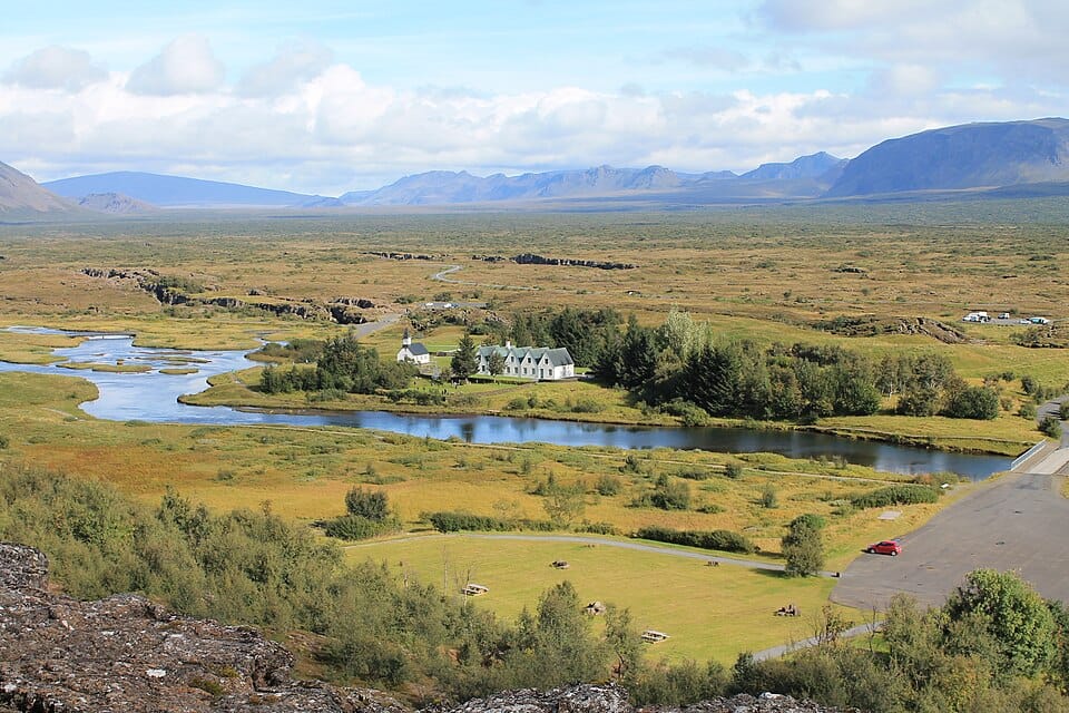
The site where the chieftains of the Althing gathered to recite laws and settle disputes, marking the historical heart of Iceland's early parliament. A flagpole and marker note the traditional location today.
Þingvallavatn
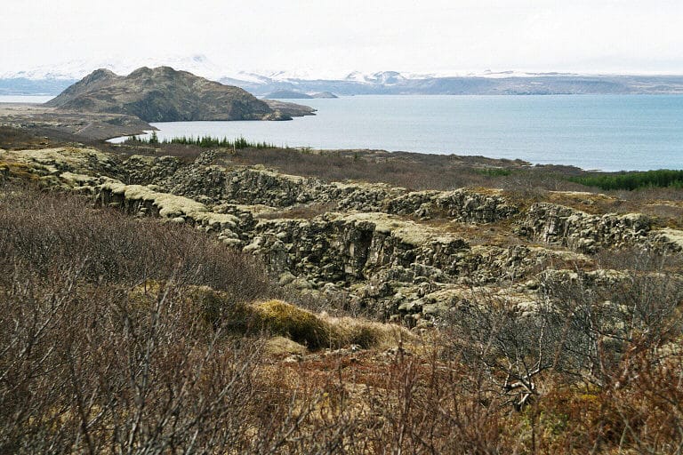
Iceland's largest natural lake, formed by rift subsidence and fed partly by glacial water filtered through lava fields. Its clear waters are known for arctic char fishing and views toward distant glaciers.
Geysir
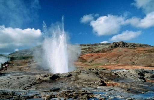
Geysir is a geothermal field in the Haukadalur valley that gave the English word "geyser" to the world, home to the dormant Great Geysir and its highly active neighbor Strokkur, which erupts every few minutes. Steaming hot springs, bubbling mud pots, and mineral-streaked ground surround the boardwalks, making it one of Iceland's most visited natural geothermal areas.
Top attractions in Geysir
Geysir (Great Geysir)
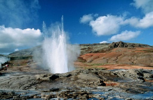
The original geyser that lent its name to all others worldwide, though it now erupts only rarely. Its wide sinter basin remains the centerpiece of the geothermal field.
Strokkur
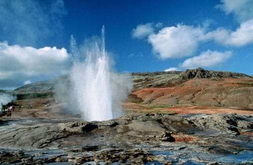
The most active geyser in the area, erupting roughly every five to ten minutes and sending boiling water up to 20 meters into the air. It is the main draw for visitors to the Geysir field.
Gullfoss
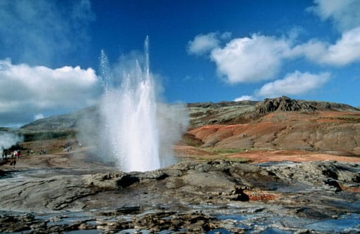
A powerful two-tiered waterfall on the Hvítá river that plunges into a rugged canyon, often producing rainbows in sunlight. It is one of Iceland's most recognized natural landmarks and the third stop on the Golden Circle.
Blesi
A pair of blue-tinted hot springs near Strokkur, one boiling and cloudy, the other clear and cooler, both colored by dissolved silica. The vivid blue makes it a popular stop along the boardwalk.
Konungshver (King's Spring)
A cluster of small geothermal pools named after a visiting Danish king, marked by mineral terraces and steaming vents along the walking path.
Vík
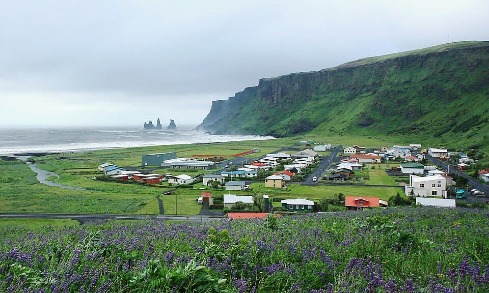
Vík í Mýrdal, usually just called Vík, is Iceland's southernmost village, a small coastal settlement known for the black volcanic sand beach at Reynisfjara, the sea stacks of Reynisdrangar rising from the ocean, and the red-roofed Víkurkirkja church on the hillside above town. The nearby Mýrdalsjökull ice cap conceals the active Katla volcano.
Top attractions in Vík
Reynisfjara
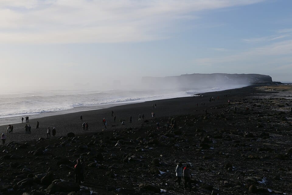
A black volcanic sand beach backed by basalt sea cliffs and hexagonal column formations at the base of Reynisfjall mountain. Powerful and unpredictable sneaker waves make it dangerous to approach the water's edge.
Reynisdrangar
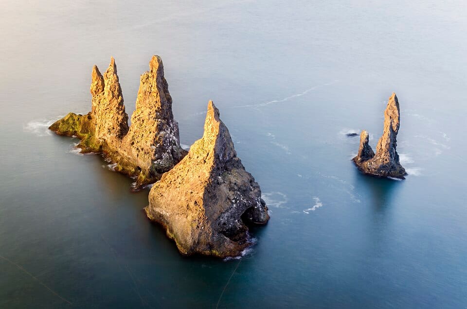
Jagged basalt sea stacks rising from the ocean just offshore from Reynisfjara, said in folklore to be trolls caught by sunrise while dragging a ship to land and turned to stone.
Dyrhólaey
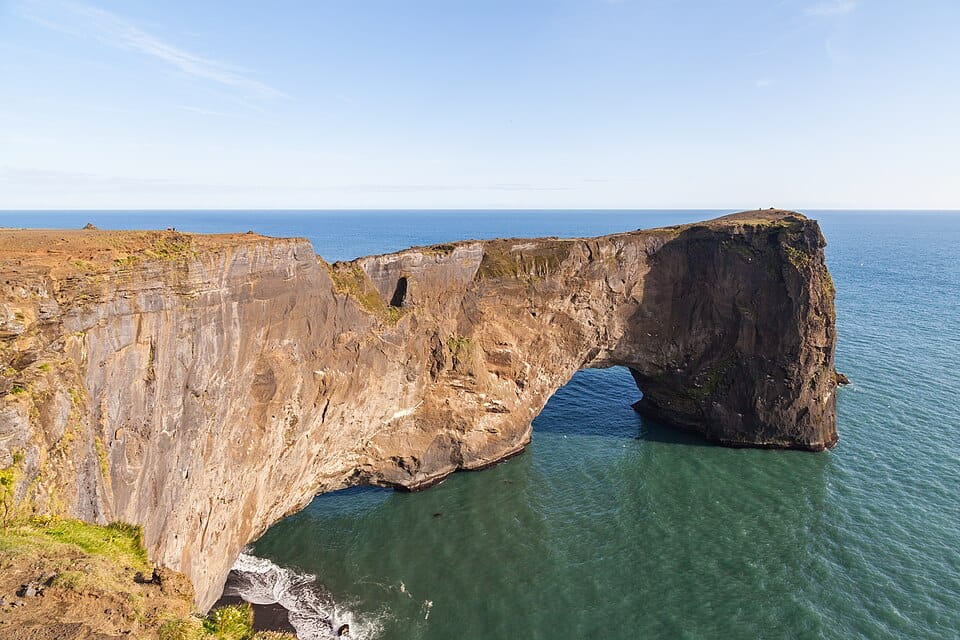
A coastal promontory with a natural rock arch large enough for boats to pass through in calm seas, offering views along the coastline and, during nesting season, puffin colonies on its cliffs.
Víkurkirkja (Vík Church)
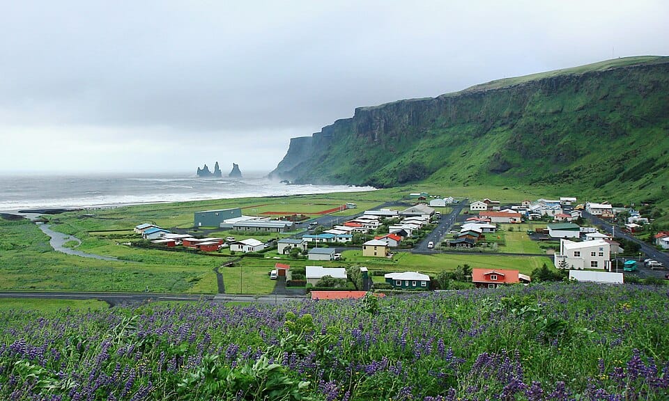
A small red-roofed church set on a hill above the village, a landmark visible from the coast road and, according to local tradition, a designated refuge point in the event of a Katla eruption.
Mýrdalsjökull
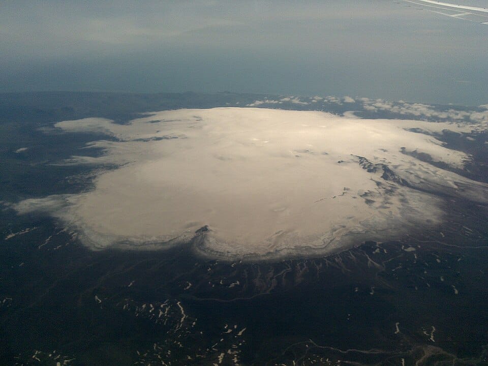
Iceland's fourth-largest ice cap, covering the active Katla volcano beneath its ice, with outlet glaciers and ice caves accessible from the Vík area on guided tours.
Plan this route with EuroDrive Scout — tolls, vignettes, ZTL alerts, fuel & parking →